
Hi all,
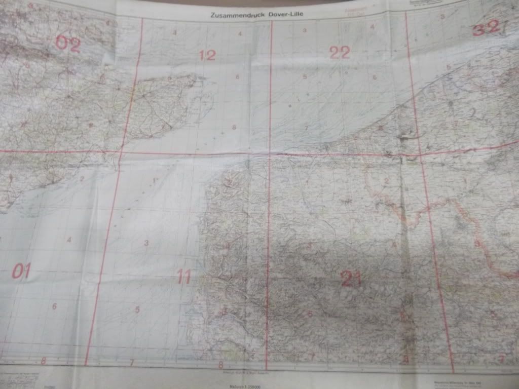
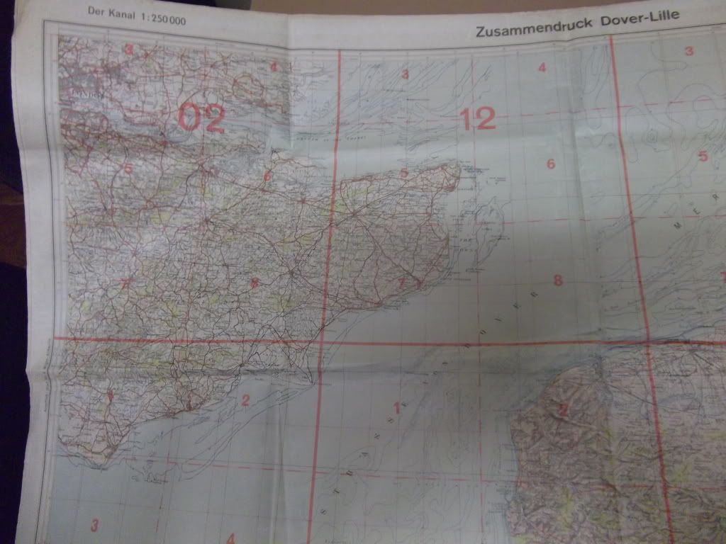
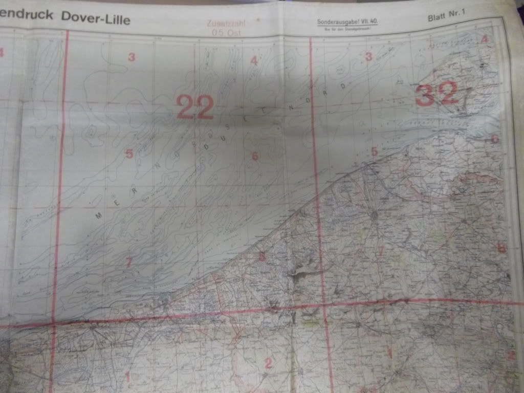
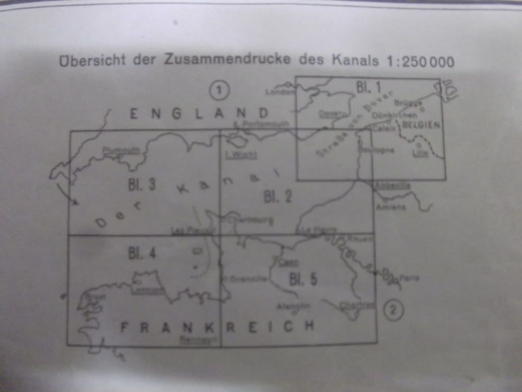
I recently sourced this 1:250 000 map of "der Kanal Dover-Lille". The map is printed on some sort of rubberised plastic material and is dated 1940. My question is, is it Luftwaffe or some other use map?
Pics are a little light but most detail is reproduced. What do you think?
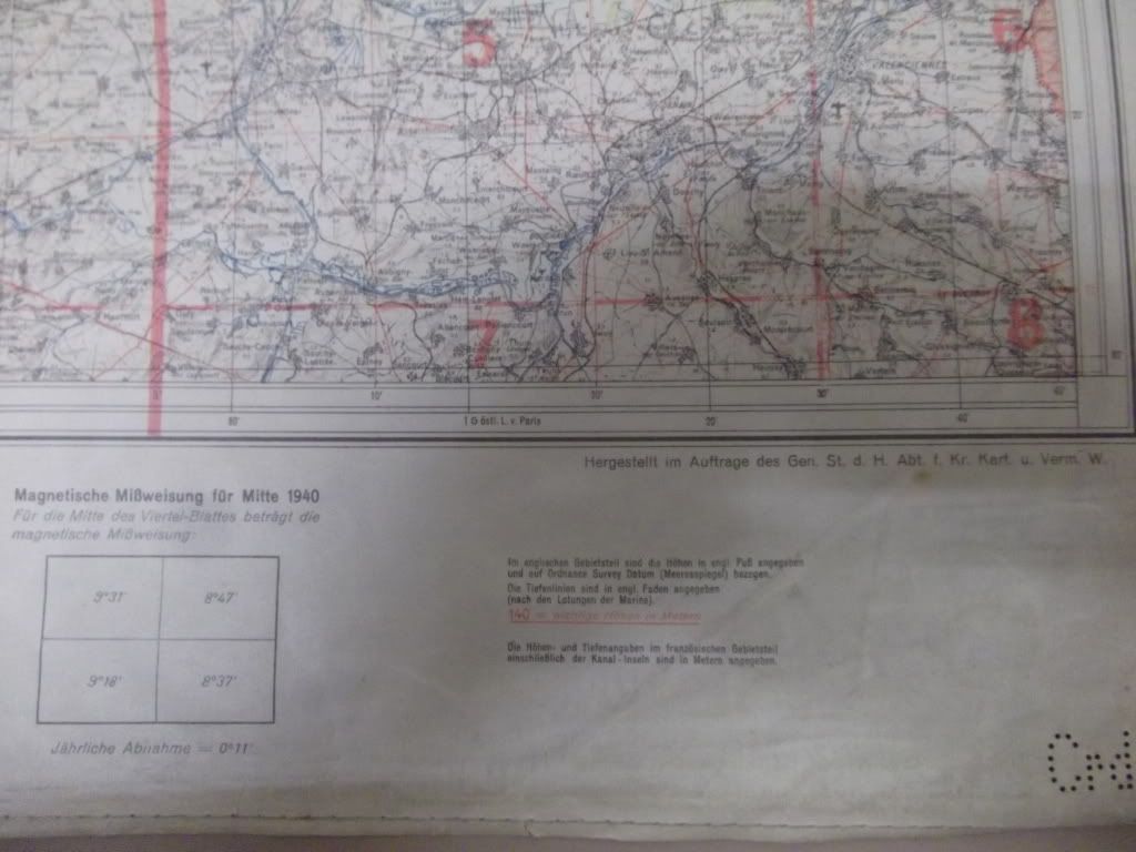
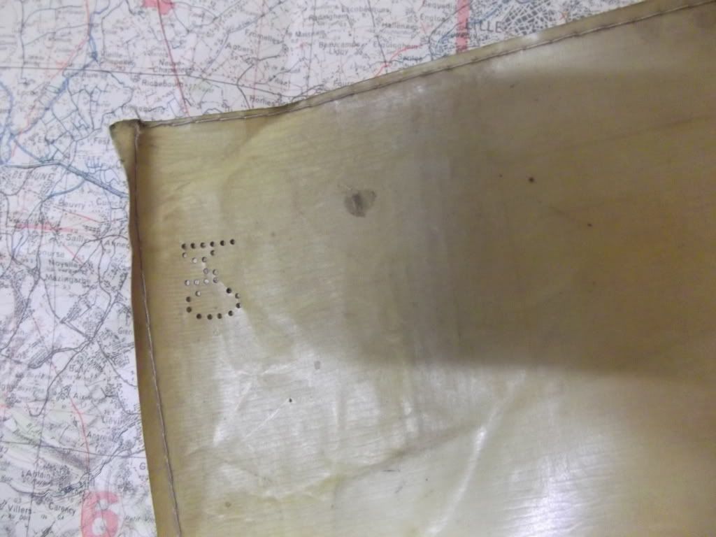
I recently sourced this 1:250 000 map of "der Kanal Dover-Lille". The map is printed on some sort of rubberised plastic material and is dated 1940. My question is, is it Luftwaffe or some other use map?
Pics are a little light but most detail is reproduced. What do you think?
Comment